Zahamena
On the plan
VISIT US
Depending on your means of transport :
- Maritime transport
- East side of the Park: Tananarive-Fénérive Est-Vavatenina-Park: approx. 550km, difficult access
- West side of the Park: Tananarive-Ambatondrazaka-Park: approx. 350km, easy access
Available activities
Hiking, camping, bird watching, guided tours, boat trips, school trips, excursions, etc.
Visitor facilities (camping areas, food and beverage outlets, visitor centers)
- A reception office in Antanandava, located at the entrance to the Park, to welcome visitors on their arrival and provide them with information on how to organize themselves, find accommodation, eat and prepare for their visits.
- A camping site with 03 tent shelters for researchers and other visitors along the circuit.
Consulting equipment
To enjoy the park to the full, it's best to bring the following equipment:
- Mosquito repellent
- Raincoat
- Hiking shoes
Rules of conduct
Animals may not be touched
Always carry a ticket with you on every visit
Guided tours compulsory
Fees and rates
Download the reference document to find out more about park fees and charges.
The circuits
| Tours | Summary | Difficulty | Duration | Tour plans |
|---|---|---|---|---|
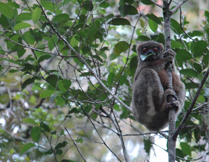
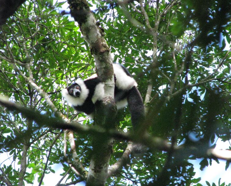
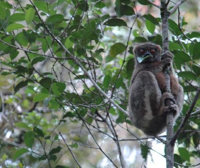
| Bemoara | Indri indri, Varecia variegata, Eulemur fulvus, Propithecus diadema, Hapalemur griseus, orchidées, le plus grand fangeon de Madagascar, piscine | Difficult route (uphill) | 03 hours | |
| Cascade | Waterfall, natural pool Worship area | Moderately difficult route (downhill) | 2h 15mins | |
| Ambarihely | Loop circuit: Less sporty, but not very easy. | Indri indri, Varecia variegata, Eulemur fulvus, Propithecus diadema, Hapalemur griseus | 2h 15 m |
Discover our National Parks and Reserves.
Madagascar National Parks
Useful links
